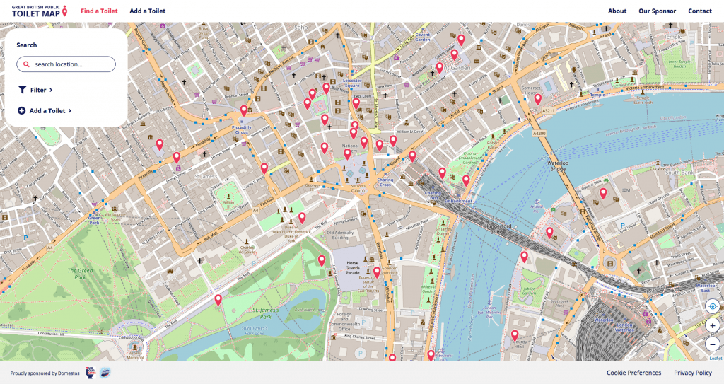
The Great British Public Toilet Map
Author/s: Public Convenience Ltd
File: Go to resource
Publication date: 2020
Summary:
The Great British Public Toilet Map is a website to help people find toilets across the UK. It is the UK’s largest database of publicly-accessible toilets, with over 13000 facilities. The information comes from the public who maintain the map for others by adding, editing or removing toilets. We also use open data and include information from councils, OpenStreetMap, private companies and organisations.
